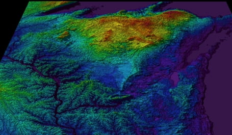
Here at UWM , I offer a 3 credit course on Geographic Information Science (GIS) aimed at teaching the basics of using ESRI ArcGIS™ software as a tool for solving earth science problems. The course covers how to use the program to create useful maps invloving the creation of symbology and scale. Map projections are emphasized because of its importance when dealing with datasets from different sources. Students learn how to manage their data and how to query the data to create new datasets that can help solve the problem at hand. Spatial analysis is the key to making GIS a powerful earth science tool and the bulk of the course deals with the various techniques that can be used to get more out of the data. Also included are topics such as image processing, database creation and maintenance, and data editing techniques.
There are several earth science problems that the students work on as case studies including subwatershed recharge analysis, cinder cone morphology (shape and volume), glacial lake reconstruction and surface runoff modeling. Overall, the course will continue to evolve to incorporate numerous aspects of earth science problems that can be analyzed using the various tools found in the ArcGIS™ software suite.